Sale!
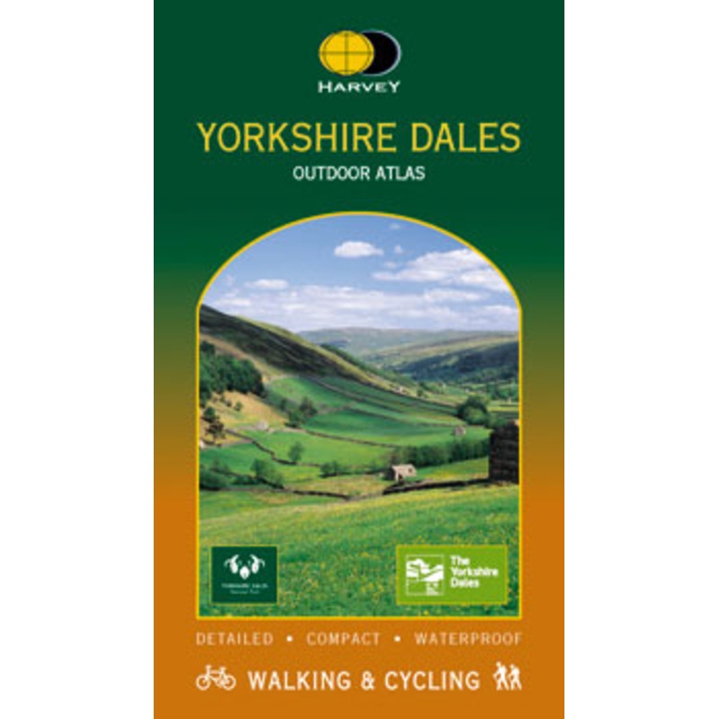
Harvey Yorkshire Dales Outdoor Atlas
Maps of the whole of the Yorkshire Dales National Park in one handy book.Spiral bound to lie flat in the handWaterproof for outdoor useDetailed mapping. Scale 1:40,000.Shows public footpaths and bridlewaysCan be used with GPS
$8.06
$13.43
Related products
Yorkshire Dales Pathfinder Guide
$10.52
$17.54
Add To Cart
Mountain Biking In The Yorkshire Dales – Cicerone
$12.11
$20.18
Add To Cart
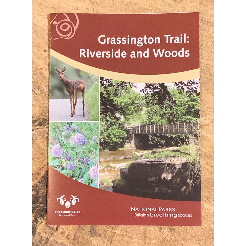
Grassington Trail: Riverside and Woods
$1.80
$3.00
Add To Cart
Reviews
There are no reviews yet.